CODEA Uganda
101 Muhindo Suites, Basecamp Close, Kasese
Mon–Thur: 8am - 5pm
Fri: 8am - 2pm
+256 772 926 270
![]()
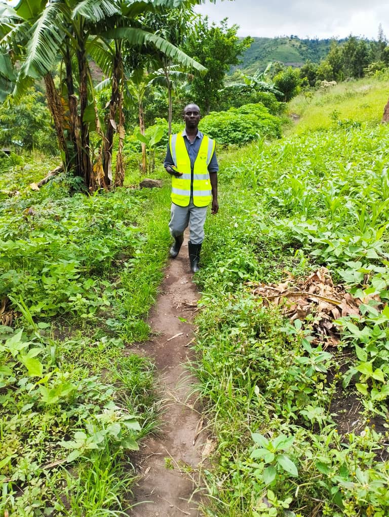
CODEA Uganda works with communities, institutions, and partners to advance environmental protection, sustainable livelihoods, community health, institutional capacity strengthening, and inclusive development through practical, locally grounded programmes.
Muhindo Suites, Basecamp Close, Kasese
Email: info@codeauganda.org
Phone: +256 772 926 270
Monday – Friday: 8:00am – 5:00pm
Saturday – Sunday: Closed